barangaroo
10 photos tagged barangaroo, from 5 members of Flickr Commons.
When were these photos taken?
Where were these photos tagged?
20% of these photos are geotagged.
Related tags
Tags that often appear on the same photos:
- sydney
- archives
- newsouthwales
- staterecordsnsw
- blackandwhite
- millerspoint
- street
- point
- gasworks
- darlingharbour
- millers
- houses
- ships
- gas
- clyde
- wharf
- statelibraryofnewsouthwales
- river
- boats
- kent
- village
- works
- powerhousemuseum
- fishpoint
Members using this tag
- Museums of History NSW - State Archives Collection
- Australian National Maritime Museum on The Commons
- The National Archives UK
- State Library of New South Wales
- Powerhouse Museum
Photos
Photos tagged barangaroo:
Loading photos…
Recent uploads
The last upload was September 2017.

CO 1069-599-125 from The National Archives UK uploaded November 2012

Reconstruction of Darling Harbour, 1909 from Museums of History NSW - State Archives Collection uploaded November 2010

Old Sydney Gasworks, c.1912 from Museums of History NSW - State Archives Collection uploaded October 2010

Sydney Streets, 1832 from Museums of History NSW - State Archives Collection uploaded August 2010

SS Medic at Millers Point from Museums of History NSW - State Archives Collection uploaded August 2010

Clyde Street, Millers Point from Museums of History NSW - State Archives Collection uploaded January 2010

Darling Harbour, Sydney from Powerhouse Museum uploaded March 2008


Conversations
Here’s a selection of the conversations happening on these photos:
Darling Harbour, Sydney
from Powerhouse Museum
- beachcomber australia said:
- John Cowper said:
- beachcomber australia said:
McIlwraith McEacharn Wharf 4, Darling Harbour, Hickson Road
- 2 older comments, and then…
-
atkipete said:
One small truck there, horses seem to still be doing most of it.
-
Mich said:
Is that where the Wharf theatre is ? It looks suspicious, the street is not that straight.
-
John Cowper said:
Mich No, No 4 Wharf would now be sitting in the midst of what we now call Barangaroo - the following website shows the building of these fine wharves in 1922.
www.afloat.com.au/afloat-magazine/2009/december-2009/100_...
I used to work in Caltex House in Kent Street in the 1960s and these wharves were still there then. -
beachcomber australia said:
John Cowper Thanks for the location - I was stumped. I think the photographer was looking over the railing on High Street. Google Street View (see Palisade Hotel for relative position) maps.google.com/maps?hl=en&ll=-33.859966,151.202903&a...
-
John Cowper said:
beachcomber australia You're right the picture would have been taken from High Street, again back in my despatch boy days (ie when I worked in Caltex House at 167 Kent Street) I explored the whole area pretty thoroughly, mainly during my lunch-hour - they were lovely buildings - in fact the whole area held a great fascination for me. I especially liked the idea that the buildings allowed access at two levels, obviously for handling cargo quicker and more easily. The bridge you can see in the right background (I've noted it) facilitated this. There were a number of such bridges along Hickson Road. Again by cooincidence I went to school with a younger McEacharn - a descendant of the Malcolm McEacharn who started the shipping line.
iews of New Zealand, and Martin Place and Middle Harbour, Sydney, ca. 1890-1910, by William Joseph Macpherson
- 1 older comment, and then…
-
beachcomber australia said:
Yikes! That's an interesting one. Guessing it is looking
westeast up Bettington Street towards the Observatory. Or not ?? -
beachcomber australia said:
Yes! See - www.records.nsw.gov.au/image/4481_a026_000186 (October 1901)
-
beachcomber australia said:
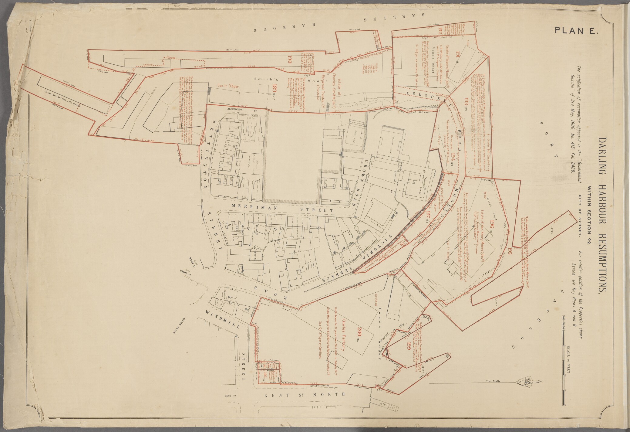
Resumption Map E (beware North is to the right) - gallery.records.nsw.gov.au/wp-content/gallery/darling-har...
-
beachcomber australia said:
The shadow of the chimneys and dormer windows of these houses were noted before by pellethepoet on this "c.1910" photo of the Kindergarten across the street. Which means the houses survived for quite a while after 1901.

-
beachcomber australia said:
[https://www.flickr.com/photos/51979177@N02] Let's ask pellethepoet to explain it !