plans
799 photos and 18 illustrations tagged plans, from 17 members of Flickr Commons.
When were these photos & illustrations taken?
Where were these photos & illustrations tagged?
5% of these photos & illustrations are geotagged.
Related tags
Tags that often appear on the same photos & illustrations:
- maps
- lots
- surveys
- subdivisions
- 1960s
- architecture
- 1850s
- 1870s
- queensland
- archives
- 1940s
- 1880s
- floorplans
- 1920s
- corleyexplorer
- housedesign
- homes
- homedesigns
- villages
- 1950s
- schools
- 1860s
- blocks
- 1890s
Members using this tag
- Community Archives of Belleville & Hastings County
- State Library of Queensland
- North East Museums
- Museums of History NSW - State Archives Collection
- Public Record Office of Northern Ireland
- British Library
- Menlo Park Planning
- Deseronto Archives
- New York Public Library
- Miami University Libraries - Digital Collections
- Smithsonian Institution
- Texas State Archives
Photos & Illustrations
Show photos & illustrations photos (799) illustrations (18)
A selection of photos & illustrations tagged plans:
Loading photos & illustrations…
Recent uploads
The last upload was 6 days ago.
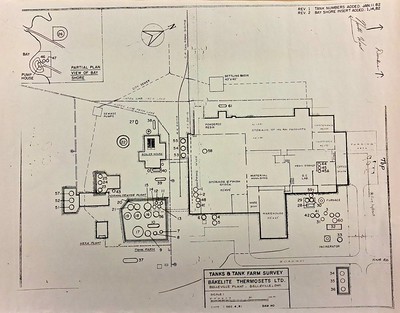
M450-2981 from Community Archives of Belleville & Hastings County uploaded 6 days ago

2026-069-03-02-003 from Community Archives of Belleville & Hastings County uploaded 16 September

Map of Stirling from Community Archives of Belleville & Hastings County uploaded 26 August

M440-2984 from Community Archives of Belleville & Hastings County uploaded November 2025

2025-055-03-02 from Community Archives of Belleville & Hastings County uploaded June 2025

2025-055-03-03 from Community Archives of Belleville & Hastings County uploaded June 2025

CH 11-368 from Community Archives of Belleville & Hastings County uploaded April 2025

M440-2825 Victoria Park from Community Archives of Belleville & Hastings County uploaded November 2024

M440-1900 MacDonnell plan #123 from Community Archives of Belleville & Hastings County uploaded November 2024

CB 8-02-76 from Community Archives of Belleville & Hastings County uploaded June 2024

2024-024-02 from Community Archives of Belleville & Hastings County uploaded March 2024

2024-024-01 from Community Archives of Belleville & Hastings County uploaded March 2024

2024-014-29 from Community Archives of Belleville & Hastings County uploaded February 2024

2024-014-27 from Community Archives of Belleville & Hastings County uploaded February 2024

2024-014-28 from Community Archives of Belleville & Hastings County uploaded February 2024
Conversations
Here’s a selection of the conversations happening on these photos & illustrations:
School Building at Victoria Road, Lurgan

- Niall McAuley said:
- Niall McAuley said:

Proposed additions etc to the Peoples Palace Brisbane Ann Street elevation architectural drawing

-
Vesna Verencevic said:
The four story brick and stone Salvation Army's People's Palace on the corner of Ann and Edward Streets in the city in Brisbane, was opened by Commissioner Hay on 28 June 1911. Salvation Army commander Major Booth gained support for a Brisbane People's Palace a place for the reclaiming of fallen humanity and providing shelter for the homeless, after his public lecture on "Social salvation" . Originally modelled on the success of the Sydney People's Palace, the Brisbane building evolved to provide affordable accommodation for working class travelling people. (Brisbane Courier, 18th July 1899 p 6.) With 130 bedrooms and a rooftop garden capable of seating 200 people The Brisbane Courier reported the Palace as "fitted with all the very latest conveniences for the comfort of residents. The three-course lunch from 12 o'clock to 2 p.m. for 1/ should satisfy the most fastidious epicure". (Thursday 6 July 1911, page 5) Designed by Lieutenant-Colonel Saunders, the Salvation Army's architect and secretary for property affairs, it became popular with travellers to Brisbane due to its proximity to Central Railway Station. In keeping with their beliefs, the Salvation Army hostel allowed neither alcholol nor gambling on the premisis. Source: www.slq.qld.gov.au/blog/peoples-palace