canal
318 photos and 64 illustrations tagged canal, from 31 members of Flickr Commons.
When were these photos & illustrations taken?
Where were these photos & illustrations tagged?
10% of these photos & illustrations are geotagged.
Related tags
Tags that often appear on the same photos & illustrations:
- panamacanal
- panama
- construction
- fish
- 1912
- centralamerica
- 1911
- sethmeek
- samuelhildebrand
- zoologyexpedition
- bldigital
- publicdomain
- mechanicalcurator
- vol0
- large
- ship
- xmlns:dc=httppurlorgdcelements11
- sherlocknet:tag=place
- pubplacelondon
- libraryofcongress
- sherlocknet:category=landscapes
- sherlocknet:tag=land
- sherlocknet:tag=england
- medium
Members using this tag
- The Field Museum Library
- British Library
- The Library of Congress
- National Library of Ireland on The Commons
- SDASM Archives
- U.S. National Archives
- Museums of History NSW - State Archives Collection
- National Library of Scotland
- Swedish National Heritage Board - Riksantikvarieämbetet
- Smithsonian Institution
- Library Company of Philadelphia
- East Riding Archives
Photos & Illustrations
Show photos & illustrations photos (318) illustrations (64)
A selection of photos & illustrations tagged canal:
Loading photos & illustrations…
Recent uploads
The last upload was November 2025.

Oh where the Shannon River flows from National Library of Ireland on The Commons uploaded November 2025

Reflections on times past from National Library of Ireland on The Commons uploaded June 2025

Skaters on the canal (1914) from Liberas uploaded April 2024

"Quai de la Grue" in Ghent from Swedish National Heritage Board - Riksantikvarieämbetet uploaded October 2022

Canal Grande, Venezia, Italy from Swedish National Heritage Board - Riksantikvarieämbetet uploaded October 2021

Dundrum Co. Down. from National Library of Ireland on The Commons uploaded March 2020

Visserij in Ghent, 1897/98 from Liberas uploaded November 2019

Who pulled the plug? from National Library of Ireland on The Commons uploaded March 2019
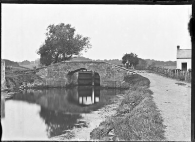
Third Lock, River Lagan, Belfast, Co. Antrim from National Library of Ireland on The Commons uploaded January 2019

British Library digitised image from page 489 of "Geïllustreerde Aardrijksbeschrijving" from British Library uploaded October 2018

General View, Mullingar, Co. Westmeath from National Library of Ireland on The Commons uploaded August 2018


Conversations
Here’s a selection of the conversations happening on these photos & illustrations:
Who pulled the plug?
- 13 older comments, and then…
- National Library of Ireland on The Commons said:
- beachcomber australia said:
- beachcomber australia said:
- derangedlemur said:
- National Library of Ireland on The Commons said:
Navigation bridge (iron) on curved lock, dock on canal entrance, another bridge, towns old mill, hills, in background

- 8 older comments, and then…
-
BultacoFan said:
I hope this is the right way to do this - it's my first time! I have adjusted the levels of the image and it reveals more detail: c1.staticflickr.com/9/8224/28862836120_51eb39fb8e_o.jpg
-
O Mac said:
Blennerville. Co Kerry www.flickr.com/photos/nlireland/5244642092/in/photolist-8...
-
BultacoFan said:
O Mac StreetView suggests it, too. www.google.ie/maps/@52.2587644,-9.7352546,3a,29.4y,199.11...
-
beachcomber australia said:
Via Trove, here is a delightful and extraordinary story of two brothers, Rowland and Aremberg Blennerhassett (sons of the man who built the windmill ? - en.wikipedia.org/wiki/Blennerville_Windmill), who set out from the wharf in the photo at 5am on 29 June 1844 in a 24-foot open boat. They rowed, pulled and sailed to Dublin via Kilrush and inland waterways, so that they could pay their respects to the Liberator, Daniel O'Connell in prison. ... ... Read All About It ! - trove.nla.gov.au/newspaper/article/31744256 Morning Chronicle, Sydney 21/12/1844 p.4 Originally from the Kerry Examiner 3/7/1844
-
Mike said:
Great editing job by BultacoFan and both beachcomer australia and O Mac as as informative as ever.
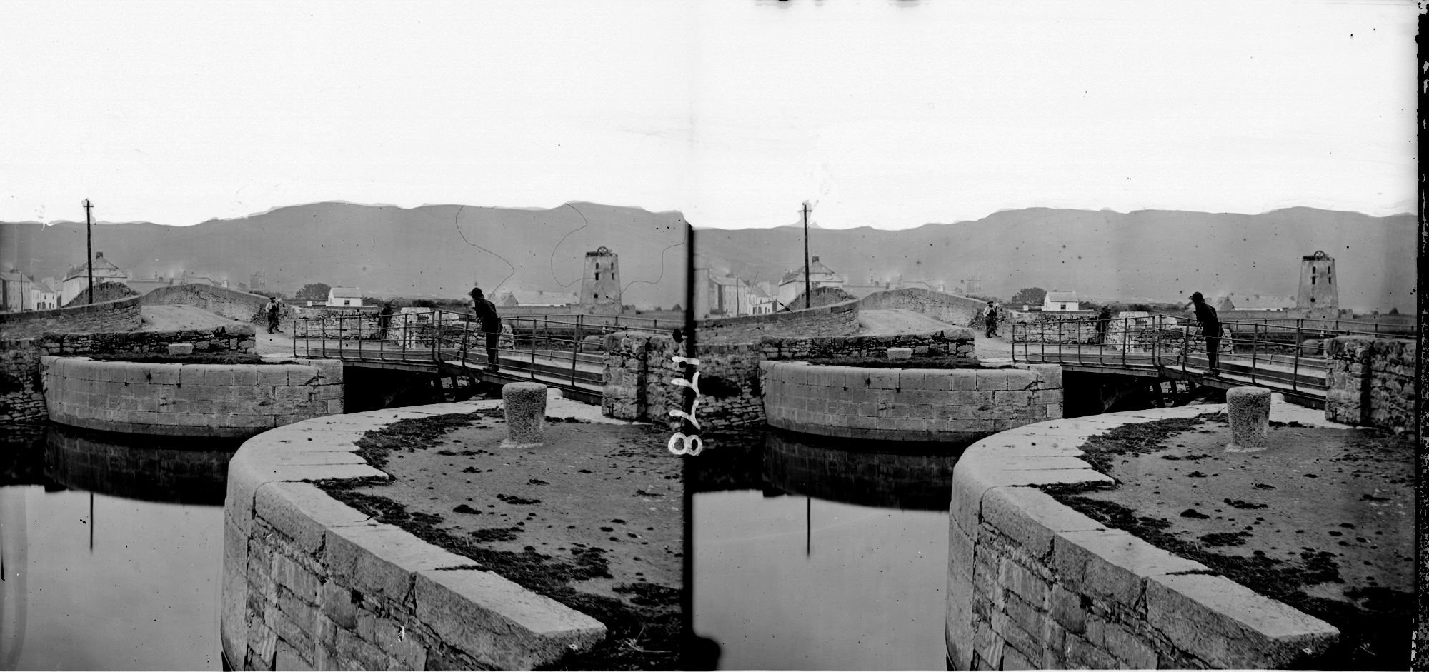
General View, Mullingar, Co. Westmeath
- 3 older comments, and then…
-
beachcomber australia said:
How about this for streetview - goo.gl/maps/E4ZkyuDvnjo From the canal bridge on Austin Friars Street. The church in the distance has had extra bits added.
-
beachcomber australia said:
The 'church in the distance' is the old Roman Catholic Cathedral (replaced in the 1930s) - catalogue.nli.ie/Record/vtls000322184 catalogue.nli.ie/Record/vtls000317724
-
Sharon Corbet said:
beachcomber australia Looks right to me. The tower of the Hevey Institute is visible beside the cathedral too:

-
patrick clinton said:
A wonderful scene remember Mullingar in the 60/70s and last there in 90s always liked the town. Family came from around Castlepollard and worked in the town over the years......
-
DannyM8 said:
I bet there is a Dog in there somewhere?