thomashmason
6 photos tagged thomashmason, from 1 member of Flickr Commons.
When were these photos taken?
Where were these photos tagged?
66% of these photos are geotagged.
Related tags
Tags that often appear on the same photos:
- nationallibraryofireland
- lanternslides
- masonsons
- masonphotographiccollection
- ireland
- dublin
- thomasmayne
- thomasholmesmason
- thomashmasonsonslimited
- workers
- workinglivesexhibition
- leinster
- chimney
- horses
- barrels
- whiskey
- belfast
- whisky
- northernireland
- carts
- distillery
- wheelbarrow
- boiler
- ulster
Members using this tag
Photos
Photos tagged thomashmason:
Loading photos…
Recent uploads
The last upload was February 2019.

Selfie? from National Library of Ireland on The Commons uploaded February 2019

Young girl in high collared white blouse from National Library of Ireland on The Commons uploaded July 2016

Jacob's biscuit factory from National Library of Ireland on The Commons uploaded June 2015

O'Neill's Bicycles from National Library of Ireland on The Commons uploaded November 2013

Dunville Distillery, Belfast from National Library of Ireland on The Commons uploaded November 2013

Conversations
Here’s a selection of the conversations happening on these photos:
Young girl in high collared white blouse
- 16 older comments, and then…
- DannyM8 said:
- derangedlemur said:
- derangedlemur said:
- beachcomber australia said:
- DannyM8 said:
Dunville Distillery, Belfast
- 33 older comments, and then…
-
Niall McAuley said:
Distillery Street is still there!
-
National Library of Ireland on The Commons said:
Niall McAuley Adding "loosely" onto Distillery Street, thank you!
-
Niall McAuley said:
That's the huge brick chimney at right, I think we are looking South.
-
derangedlemur said:
I wouldn't rule out south but the shadows look more as if we're looking east.
-
derangedlemur said:
Distillery street seems to be named for the Royal Irish Distillery (judging by the map), which according to the internet included the Dunville brand.
Jacob's biscuit factory
- 34 older comments, and then…
-
Sharon Corbet said:
Archiseek article on the building.
-
Sharon Corbet said:
OSI Map showing "Biscuit factory".
-
Carol Maddock said:
But the bigger mystery of how they ever got the figs into the Fig Rolls is solved here...
-
John Spooner said:
Freeman's Journal of May 26 1883 reported a fire at Messrs Jacob's Biscuit Factory in Peter Street. The damage done was enormous", but could have been worse but for the actions of the night watchman, Patrick Mooney, and the Fire Brigade under the command of Captain Boyle and Lieutenant Boyle.
-
Sharon Corbet said:
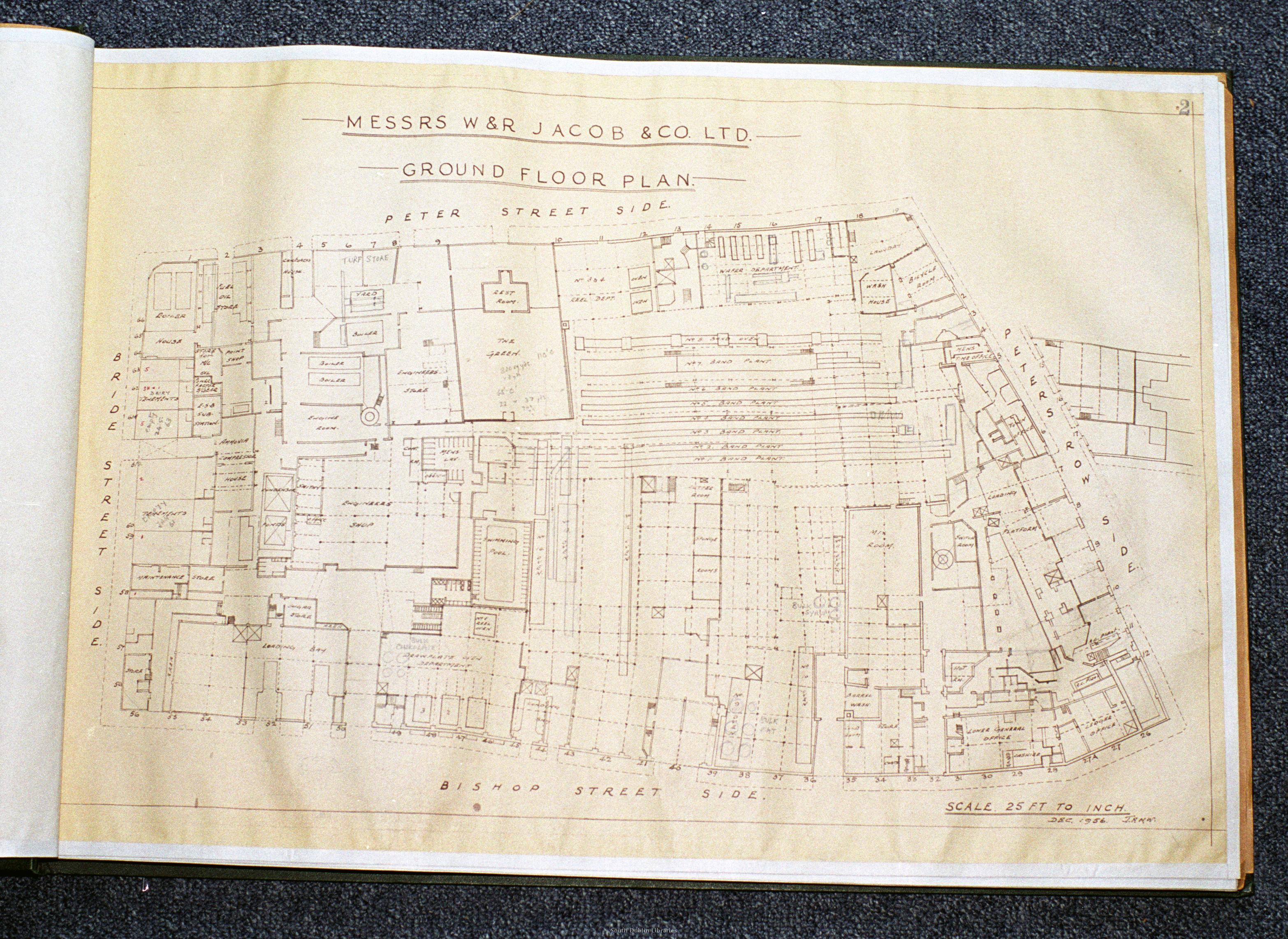
There's a ground floor floorplan of the factory available and I think I can make out a "cutter room" towards the centre. (However, the floorplans date from 1956, so I presume there may have been a few changes made.)