royaloak
5 photos and 2 illustrations tagged royaloak, from 5 members of Flickr Commons.
When were these photos & illustrations taken?
Where were these photos & illustrations tagged?
14% of these photos & illustrations are geotagged.
Related tags
Tags that often appear on the same photos & illustrations:
- bldigital
- date1894
- pubplacenewport
- publicdomain
- sysnum001514398
- griffithsgeorgeofwestonunderlizard
- medium
- vol0
- mechanicalcurator
- imagesfrombook001514398
- imagesfromvolume0015143980
- sherlocknet:tag=water
- sherlocknet:tag=work
- street
- xmlns:dc=httppurlorgdcelements11
- libraryofcongress
- page247
- sherlocknet:tag=young
- sherlocknet:tag=consider
- sherlocknet:tag=hand
- sherlocknet:tag=innsbruck
- sherlocknet:tag=fish
- sherlocknet:tag=various
- sherlocknet:tag=ellen
Members using this tag
- The Library of Congress
- British Library
- National Library of Ireland on The Commons
- Museums of History NSW - State Archives Collection
- Powerhouse Museum
Photos & Illustrations
Show photos & illustrations photos (5) illustrations (2)
Photos & Illustrations tagged royaloak:
Loading photos & illustrations…
Recent uploads
The last upload was February 2022.

Miss Furey behind the bar, Moyvalley, Co. Kildare from National Library of Ireland on The Commons uploaded August 2017

ROYAL OAK (LOC) from The Library of Congress uploaded April 2017

Millers Road, The Rocks from Museums of History NSW - State Archives Collection uploaded August 2011

Parramatta River from Flagstaff Reserve, Sydney from Powerhouse Museum uploaded March 2008


Conversations
Here’s a selection of the conversations happening on these photos & illustrations:
Millers Road, The Rocks
- 16 older comments, and then…
-
beachcomber australia said:
Ha! I have been waiting for this photo to turn up. Which part of "Kent Street, The Rocks" was ever bent?. (Reminds me of an unrepeatable old limerick).
-
pellethepoet said:
beachcomber australia Right you are - it never did! Thanks to the other photo we've been working on - www.flickr.com/photos/powerhouse_museum/2362655413/ - the "Oak" fragment is clearly identifiable as the Royal Oak on Miller's Road, Millers Point. Serendipity!
-
pellethepoet said:
Same section of road as depicted here, where "Miller's Rd curves from Kent St to Moore's Rd"

Dwellings, Miller's Rd (12), Miller's Point, 21 May 1901 [CSA: NSCA CRS 51/90] -
Mich said:
Hmm Hickson road is too straight and Kent street is too bent
-
beachcomber australia said:
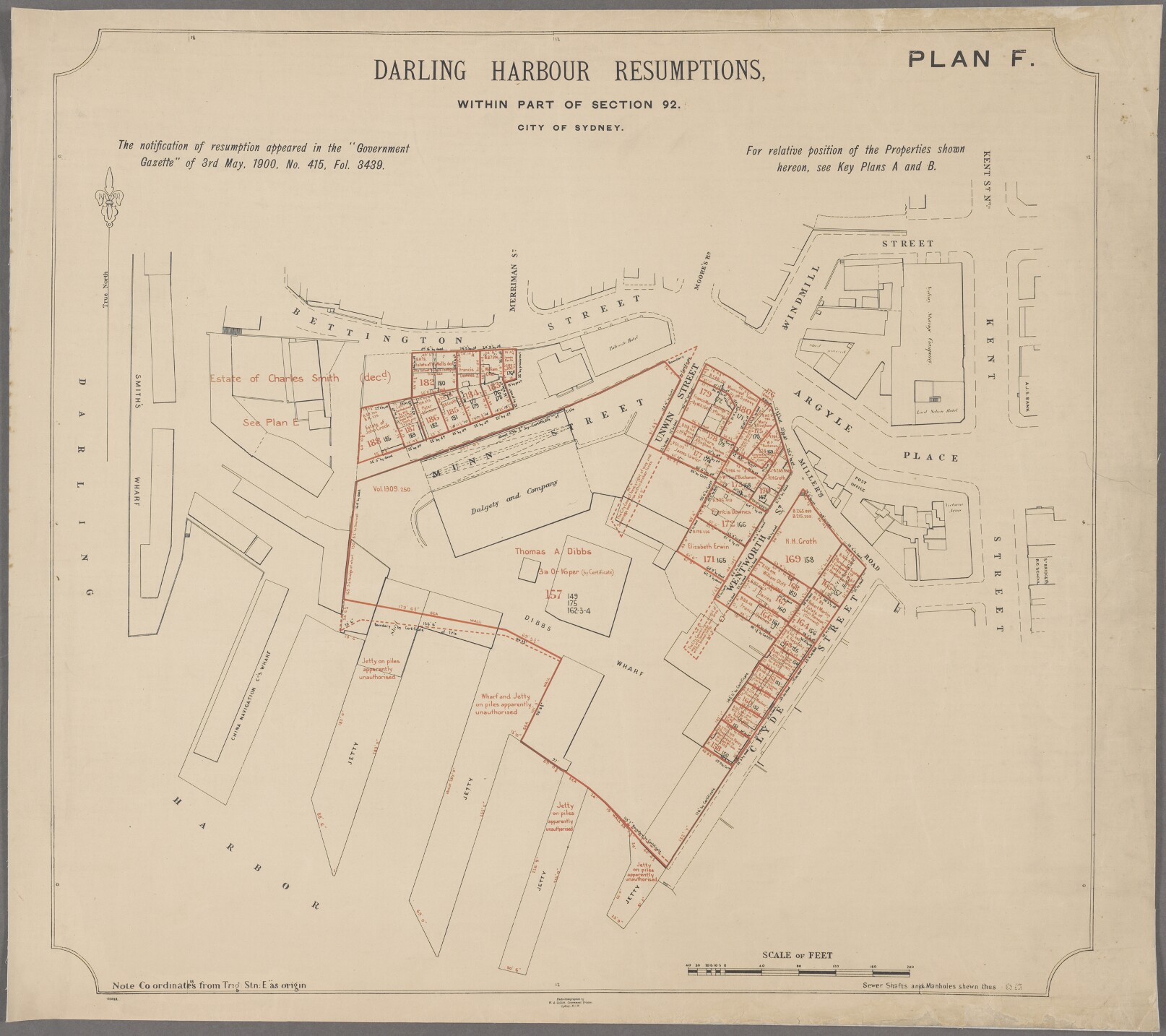
pellethepoet Thanks, I hoped you might know about this. It is not easy to identify no-longer-existing streets from 120 year-old photos and maps. Serendipity indeed. Local map (1880) showing Miller's Road - www.nla.gov.au/apps/cdview?pi=nla.map-rm3424-sd&rgn=0... Resumption Plan F (1900) - gallery.records.nsw.gov.au/wp-content/gallery/darling-har...
Miss Furey behind the bar, Moyvalley, Co. Kildare
- 12 older comments, and then…
-
beachcomber australia said:
Ooo! - Furey's Bar is still there - streetview - www.google.com.au/maps/@53.4293805,-6.9163092,3a,75y,33.3...
-
beachcomber australia said:
Apologies - Flickr is not too happy with google links at the moment. Someone else might have more luck!
-
beachcomber australia said:
We have visited before -
 That's Mr O'Dea on the left
 -
beachcomber australia said:
Exterior view in 2016 via www.flickr.com/photos/cogy/ (Flickr is sometimes amazing) -

-
Frank Fullard said:
The bar s still there.
Parramatta River from Flagstaff Reserve, Sydney
from Powerhouse Museum
- 4 older comments, and then…
-
beachcomber australia said:
Pre 1891 - No Hentsch Bond around the Lord Nelson Hotel.
-
pellethepoet said:
Compare with -

-
pellethepoet said:
There is no listing in 1888 Sands (compiled 1887) for the Royal Oak (est. 1837) in Millers Point (but there are five others in other areas of Sydney). A search of Trove reveals that by June 1882, John Sottero was operating a fish & chip shop, or rather, a fish and oyster saloon from the premises - trove.nla.gov.au/ndp/del/article/28380580 . Originally from Greece, he was naturalised in January of the following year. - srwww.records.nsw.gov.au/indexsearch/searchhits.aspx?tabl...
-
beachcomber australia said:
pellethepoet So date is 1882-1887?
-
pellethepoet said:
beachcomber australia Possibly before June 1882, however ... the Royal Oak name on the side wall could be a remanent, and may have remained there for some time after it finished trading as the Royal Oak. In Shirley Fitzgerald's Millers Point book, there is a photo showing the Royal Oak with the name emblazoned on the upper front of the building, which isn't there in this photo. So the photo may indeed be after 1882. Hmmn ...