kusakabekimbei
8 photos tagged kusakabekimbei, from 2 members of Flickr Commons.
When were these photos taken?
Where were these photos tagged?
None of these photos are geotagged.
Related tags
Tags that often appear on the same photos:
- japan
- 日下部金兵衛
- newyorkpubliclibrary
- albums
- xmlns:dc=httppurlorgdcelements11
- yokohamashi
- boats
- 横浜
- yokohamabund
- 横浜バンド
- bridges
- nikko
- 日光
- 神橋
- shinkyobridge
- daiyariver
- sacredbridge
- 大谷川
- nikkoshi
- dc:identifier=httpdigitalgallerynyplorgnypldigitalid110051
- 蛇橋
- streets
- tokyo
- ginza
Members using this tag
Photos
Photos tagged kusakabekimbei:
Loading photos…
Recent uploads
The last upload was July 2009.

Pagode in Yasaka / Pagoda in Yasaka from Nationaal Archief uploaded July 2009

View of English Hatoba at Yokohama from New York Public Library uploaded December 2008

View of Bund, Yokohama from New York Public Library uploaded December 2008

View of Grand Hotel, Yokohama from New York Public Library uploaded December 2008

Town Honcho-Dori Yokohama from New York Public Library uploaded December 2008

Main Street, Tokio from New York Public Library uploaded December 2008

View of Sacred Bridge, at Nikko from New York Public Library uploaded December 2008
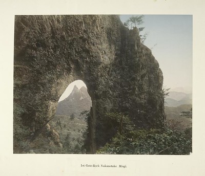
1st Gate-Rock Nakanotake Miogi from New York Public Library uploaded December 2008
Conversations
Here’s a selection of the conversations happening on these photos:
View of Sacred Bridge, at Nikko
-
Rob Ketcherside said:
Shinkyo Bridge, Sacred Bridge. A very similar photo by an unknown photographer in Nagasaki University's collection dates from before 1902, when the bridge was washed out. They NPL photo at first appears to just be a zoom in of this, but the trees in the back left are obviously different. Possibly Kusakabe zoomed in to avoid the power poles visible in that photo and in this glass slide also in Nagasaki University's collection from 1904. Located here. NOW Best Flickr could do,
 Closest to the same angle,

-
BigBean said:
Hi, this photo has been discussed in one of the threads in the Flickr Commons group, and we'd love to have this added to the group pool!
View of Grand Hotel, Yokohama
-
Rob Ketcherside said:
The hotel no longer exists, one of many casualties of the Great Kanto Earthquake in 1923. A nearly identical photo by Kusakabe is in the Nagasaki University database, though differences in trees and the building on the right side of the road running up the frame show it is froma different time. That photo's comment says that the building in the center of this photo is the Grand Hotel's original building (kyuu-kan, 旧館), construction started in Meiji 3 (1870). Other photos say it was completed in Meiji 6 (1873). A photo of the hotel from 1908 in UW collection is tough to place in this one, because it is taken from the opposite side of the buildings, showing the annex completed in summer of 1890. Because the roofline of the building to the left of the original hotel does not resemble the annex, NPL's photo must be between 1873 and 1890. Another photo by Kusakabe Kinbei is held by Nagasaki University, showing the quite different facade of the annex (shinkan). Yet another in their large collection of Kusakabe prints shows the annex alongside the original hotel from the water. A photo from the end of the bund (quay) by an unidentified photographer also shows both buildings of the hotel. An 1895 menu. According to this site, the hotel was located roughly where the Yokohama Doll Museum is now. The Kanagawa Prefectural Museum of Cultural History has a photo of the hotel after the earthquake. Their map supports the location at the present Doll Museum. Between the wooded foreground and the masonry buildings, Yokohama Canal (横浜堀川) runs from left to right. A Kusakabe photo shows the canal and the gated bridge that contained foreigners on the bund. Another photo by Kusakabe from further up the canal is available from MeijiTaisho.net with a high-resolution download.
-
Rob Ketcherside said:
Taken from about here, though you need to go up a couple of floors in "Hotel Feel" to get the same shot. It's interesting to wonder if Kimbei took this from a tall hotel's roof? FWIW, the graveyard for foriegners is just back to our left.
-
Lú_ said:
This photograph is featured in the Indicommons.org post Traveling Photography.
